Scarborough Businesses in the News
WebGIS – Advanced Parcel Viewer
Thursday, February 13, 2020
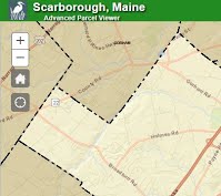
Scarborough’s online Geographic Informational System (WebGIS) is an interactive mapping application that runs in a web browser and provides the public with geographic data. Some of the data that is available includes: road center lines, property lot lines, zoning, utilities, floodplains, water features, contours, and much more.
For more information click here or contact:
Micah Warnock
GIS & Project Administrator
Phone: (207) 730-4406
Email: mwarnock@scarboroughmaine.org