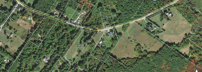
Running Hill Road
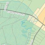
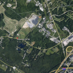
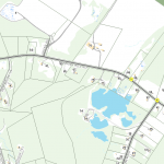
Running Hill Road in Scarborough is largely undeveloped at this point, but it is anticipated that the area will eventually develop as a high-quality, well-planned mixed use center. The area borders South Portland and is near the Target retail center and the Anthem office building. This area currently has no sewer or water, but it is anticipated that, as development occurs, these services will be extended.
The area includes two zoning districts:
Running Hill – Gorham Road Mixed Use District, RH
The purpose of this area is to provide for and encourage the Running Hill Road and Gorham Road area west of the Maine Turnpike to develop as a high-quality, well-planned mixed use center. This district is intended to accommodate a mix of office, service, financial, research, small retail, recreational and residential uses in an environment conducive to both pedestrians and motorists. Development is intended to be compact and interconnected with common spaces, enabling walk-ability, human activity and vibrancy as well as convenient and orderly vehicular access and circulation. Master planning for larger parcels will enable flexibility, creativity, open spaces, and an overall character for the development. Click here to read more
Running Hill – Gorham Road Transition District RH2
The purpose of this district is to provide an area for the location of small retail, business, service and community uses as well as a range of residential uses including multifamily dwellings and dwellings that are part of mixed use developments. The goal of the district is to supplement the RH District in fostering a highquality, mixed use center, with development at a scale and uses at an intensity which are compatible with the surrounding area. This medium intensity mixed use district allows a range of land uses that are intended to compliment the core development pattern and uses in the RH District as well as serve as a transition to the surrounding rural residential areas. Click here to read more
 |
 |
 |
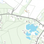
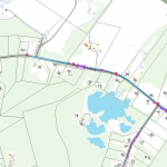
| Sewer Map | Storm Water, Water Map |
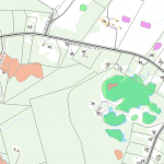
Wetlands Map |
 |
 |
 |
| Zoning Map | Google Maps View | Light Signals, Traffic Posts, Fibreoptic Lines Map |

