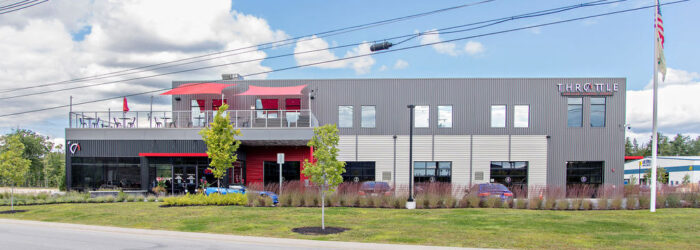
Crossroads
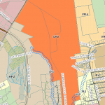
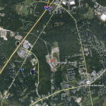
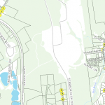
The Crossroads area includes more than 500 acres near the center of Scarborough. The area includes some land in the Haigis Parkway Zoning district, but the majority of the area is in the Crossroads Planned Development District (CPD). Since 2019, this area, known as The Downs, has been guided by a Masterplan with a build out of approximately 20 years. The area is home to a mix of uses including housing units, production space, office space, and trails. The Masterplan for the area includes a town center style of development that will build out over time. Click here for a link to The Downs Website and to see a renderings of the Downtown.
Orientation to Crossroads – Click Here
Crossroads Planned Development District – CPD
The purpose of the CPD District is to allow a mix of uses, guided by design standards and a conceptual master plan, which results in a vibrant center for development located in the heart of Scarborough. This largely undeveloped area, within the center of the town, offers a unique opportunity for town representatives to work cooperatively with the area’s single land-owner, allowing mixed use development to evolve, while ensuring open space, preservation of natural resources, an efficient land use pattern for pedestrian, bicycle and transit use, a coordinated street plan and a cost effective extension of needed utilities. The mix of uses and efficient land development patterns are also intended to promote a number of community places, where people can gather, meet and cross paths
 |
 |
 |
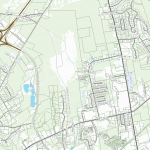 |
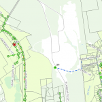
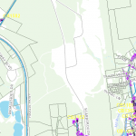
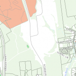
| Sewer Map | Storm Water, Water Map |
Wetlands Map | Parcel Map |
 |
 |
 |
|
| Zoning Map | Google Maps View | Light Signals, Traffic Posts, Fibreoptic Lines Map |

